Storm intelligence for roofers
See which streets actually took hail, not just where somebody reported it.
Official storm reports are sparse. Radar hail data covers every square mile. We show you both on one map, so you stop writing off neighborhoods that got hit and nobody called in.
Included in the $997/mo plan, alongside the AI receptionist.
A real case: the verdict flipped once radar hail was included.
The trap
"No hail reported here" is not the same as no hail.
Official storm reports only exist where a trained spotter or a member of the public called one in. Whole subdivisions get hit with nobody reporting it. If your map only shows reports, those streets look clean.
Report-only maps
- Sparse by nature, clustered near towns and highways
- A hit neighborhood can show zero events
- You drive past work you already paid to find
Radar-only maps
- Covers everything, but estimates size aloft
- Some of it never reaches the ground
- Alone, it sends crews to streets with nothing
Both together
- Radar shows the full swath, reports confirm size
- Near-miss areas are drawn, not hidden
- You can defend the claim with real sources
What's in it
Built for knocking, not for weather nerds.
Everything here exists because a roofing crew needed it on a specific morning after a specific storm.
Radar hail swaths
Hail size estimates across the whole storm path, not just the handful of points somebody phoned in.
Ground storm reports
Confirmed hail sizes and wind speeds from the weather service, plotted alongside the radar so you can see where they agree.
Live warnings as they issue
Severe thunderstorm and tornado warnings the moment the weather service puts them out, so you know before the calls start.
Shareable address reports
Every storm that touched a specific property, with dates and sizes, as a link or a PDF you can attach to a claim.
Draw the area, work the area
Outline a damaged neighborhood on the map and turn it straight into a canvassing or calling list instead of exporting spreadsheets.
The phone side, handled
The morning after a storm your line rings all at once. The same platform answers every one of those calls and books the inspections.
A real example
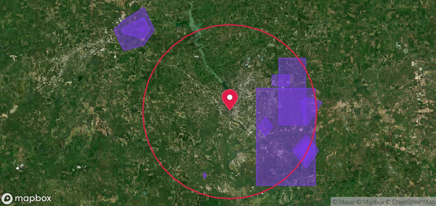
Phenix City, Alabama.
A crew was on a roof insisting there was hail damage. The report-only view said no events in the area, with the nearest confirmed report fifteen miles away. Pulling the radar hail layer over the same address showed hail detected directly overhead, on a date that matched what the homeowner described.
The roof was right and the map was wrong, because the map was only showing half the picture. That's the exact case this tool exists to prevent, and it's why the address report now draws near-miss hail areas instead of hiding them.
Common questions
Straight answers.
How do roofers find out where hail actually hit?
The reliable way is to use two sources together: radar-derived hail data, which covers the whole storm path but estimates size in the air, and ground storm reports, which are confirmed observations but only exist where someone reported one. Radar alone sends you to streets with nothing; reports alone hide neighborhoods that got hit and never called it in.
Which is more accurate, radar or storm reports?
Neither, on its own. They answer different questions. A property can sit inside a radar hail swath with the nearest official report ten or fifteen miles away and still have real damage. Checking only official reports is the single most common reason roofers write off a damaged neighborhood.
Can I give a homeowner or adjuster proof?
Yes. You can generate a report for any address showing every storm that affected it, with dates, hail sizes, wind speeds and a map. Send it as a link or download the PDF to include with a claim.
Do I have to use the AI receptionist to get the storm tools?
They come together. Storm mapping and reports are part of the $997/mo platform that also includes the AI receptionist, booking, texting and follow-up. There isn't a storm-only plan, mostly because the two are worth the most on the same morning: the storm map tells you where to go, and the receptionist answers the flood of calls that follows.
Where does the weather data come from?
National Weather Service warnings, Storm Prediction Center and local storm reports, and radar-derived hail detection. Public, citable sources, which matters when a claim gets questioned.
Know where the damage is before you knock.
See the last storm season on your own market, and what your crews would have found.